


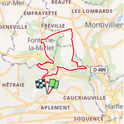

7,7 km | 9,1 km-effort

Benutzer


Kostenlosegpshiking-Anwendung
 SityTrail
IGN / Geografische Institute
SityTrail World
Die Welt öffnet sich für Sie
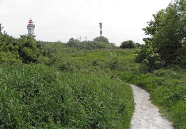
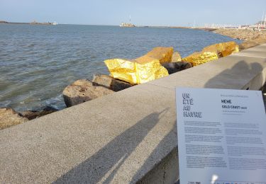
Tour Mountainbike von 14,2 km verfügbar auf Normandie, Seine-Maritime, Le Havre. Diese Tour wird von tracegps vorgeschlagen.
Bonjour à tous. Fraicheur matinale et soleil pour ce circuit VTT qui m'a bien réveillé. Il y a des bonnes montées, il ne faut pas lâcher. Bonne balade !


Wandern
Wandern
Zu Fuß
Zu Fuß

Wandern

Zu Fuß
Wandern
Wandern
Wandern